Unsettled Easter Weekend Ahead with Strong Winds and Heavy Rain Forecast
Cork faces a wet and windy Easter weekend with strong winds, heavy rain and possible wave overtopping from Good Friday; allow extra time for journeys
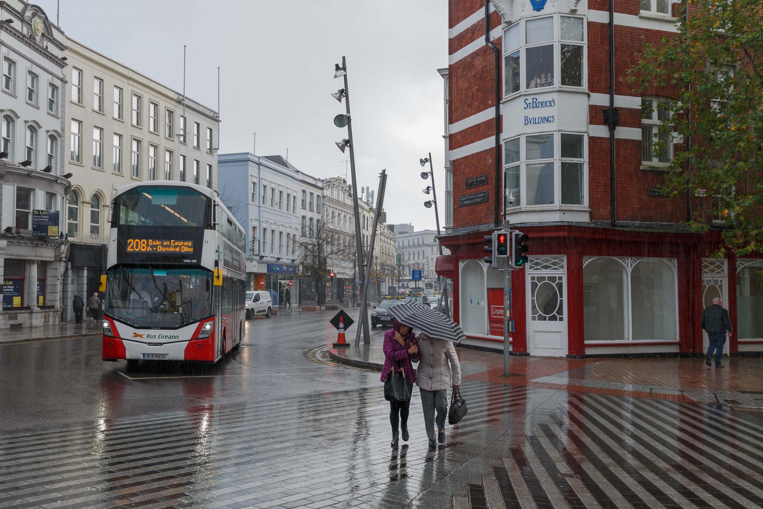
Cork is facing a wet and windy Easter weekend, with Met Éireann forecasting strong southwesterly winds and heavy rain from Good Friday through to Monday. Travellers planning journeys over the bank holiday period are advised to check forecasts before setting out and allow extra time.
Today and Wednesday
Tuesday will be a generally cloudy day with patches of light rain, drizzle and some sunny breaks developing at times. Temperatures will reach 11 to 14 degrees in light to moderate west to southwest winds. Any lingering mist or fog from overnight will clear during the morning.
Wednesday will bring a similar start, with cloud, drizzle and mist through the morning. Outbreaks of rain will move southeastwards across the province during the afternoon before clearing to dry weather with sunny spells by evening. Temperatures will again reach 11 to 14 degrees, though it will become cooler as winds turn northwesterly following the rain.
Wednesday night will turn notably cold, with Met Éireann forecasting overnight lows of -2 to +2 degrees as winds become light and variable, bringing a risk of frost, mist and fog.
Thursday
Thursday will be a chilly day with a cloudy start, though the south and east should see the best of any sunny spells. Mist and fog will clear through the morning, but outbreaks of rain will develop in the west and move eastwards during the day, with parts of the east possibly remaining dry. Highest temperatures of 7 to 10 degrees with a moderate southwesterly breeze. Thursday night will be cloudy and breezy with outbreaks of rain in most areas and lows of 5 to 8 degrees.
Good Friday (3 April)
Met Éireann notes there is still some uncertainty in the details for Good Friday, but current indications point to a windy day with strong southwesterly winds and gales on western and northwestern coasts, bringing a chance of wave overtopping along with rain and showers. Highest temperatures of 11 to 15 degrees.
Weather chart analysis, drawing on ECMWF and GFS model data, suggests gusts of 60 to 80 km/h are possible, with up to 90 km/h on more exposed coastal stretches. Rainfall totals of 15 to 30 mm through the day are indicated, with a risk of surface flooding on roads and poor driving conditions. The two models differ somewhat on the timing of the rain band clearing; confidence in the finer details is moderate.
Good Friday night is expected to bring clear spells and showers initially, turning cloudier with outbreaks of rain or drizzle overnight. Lows of 3 to 8 degrees with light to moderate south to southwest winds.
Easter Saturday (4 April)
Met Éireann flags the potential for a spell of wet and windy weather on Saturday, with temperatures of 10 to 13 degrees before turning cold quickly during the evening. Chart analysis suggests an active frontal system will bring heavy rain around dawn, possibly 10 to 15 mm, with fresh to strong southwesterly winds. The afternoon is expected to see the front clear eastwards, followed by frequent heavy showers with a risk of hail.
Saturday night will see rain give way to clear spells and scattered showers, mainly in the west and northwest, with some showers possibly turning wintry as temperatures fall to between 0 and 3 degrees. Winds will be blustery with a moderate to fresh westerly.
Easter Sunday and Monday (5–6 April)
Met Éireann acknowledges uncertainty at this range but indicates Easter Sunday is likely to be cool and blustery with sunny spells and scattered showers. Sunday night into Monday may turn wet and windy again as another Atlantic system approaches. Chart analysis suggests persistent heavy rain and strong southerly winds for Monday, with rainfall totals of 20 to 35 mm and gusts of 70 to 80 km/h possible near the coast.
Travel Advice
With a very unsettled Easter weekend forecast, motorists and coastal visitors are advised to monitor Met Éireann updates in the coming days, allow extra time for journeys, watch for surface water on roads, and avoid exposed coastal areas during periods of peak winds.