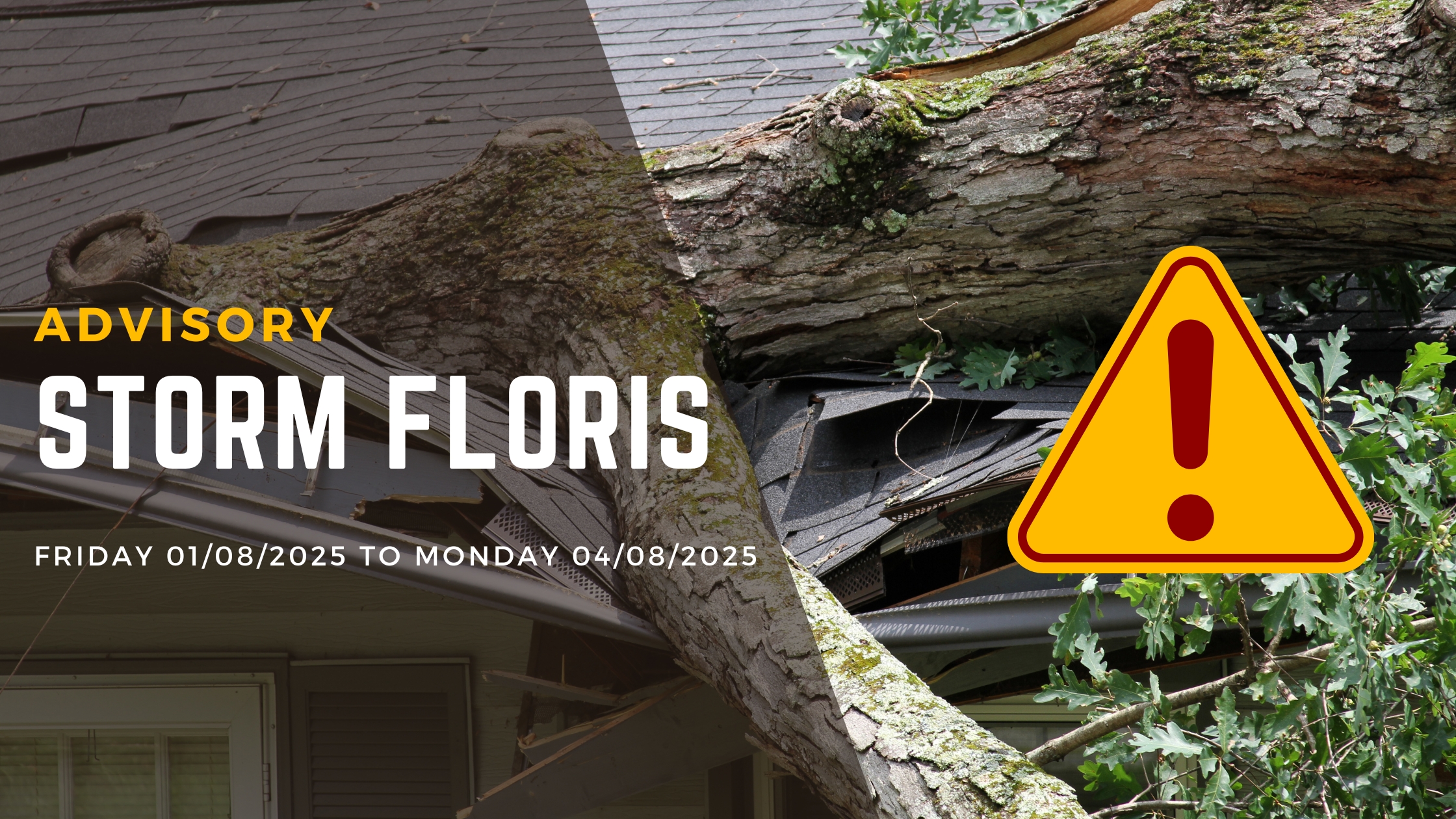
Storm Floris Has Been Named: Weather Advisory Issued
Will Bring Unseasonable Weather This Bank Holiday Weekend!
Met Éireann has issued a nationwide weather advisory as Storm Floris, named by the UK Met Office, prepares to bring wet and unseasonably windy conditions across Ireland from Sunday night through the August Bank Holiday Monday.
The advisory, issued at 12:37 today (1 August 2025), warns Cork residents to prepare for potentially dangerous conditions that could significantly impact the long weekend's plans. With many outdoor events scheduled across the county for the bank holiday, organisers and attendees should monitor conditions closely.
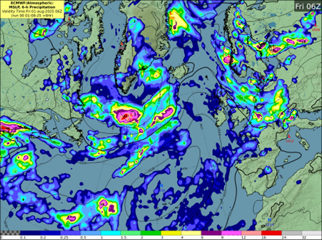
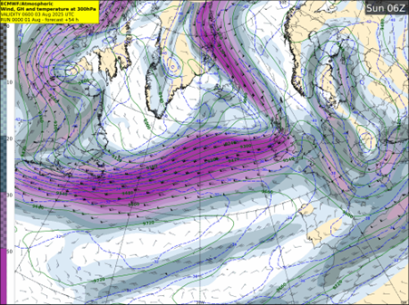
The storm, which has not yet formed, is expected to develop through Friday from a frontal wave currently lying south of Nova Scotia. An unusually strong jet stream for August will carry the system towards Ireland through the weekend, with the storm deepening rapidly by approximately 20hPa in 24 hours between Sunday and Monday.
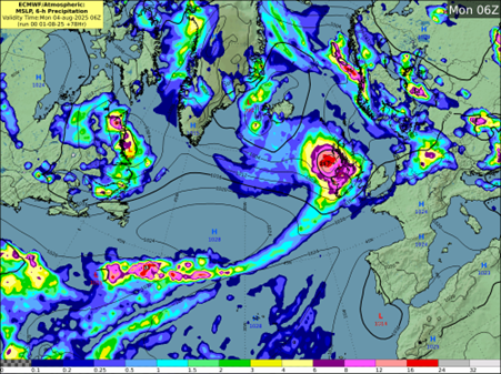
Storm Floris is expected to track to the northwest of Ireland through Sunday night and Monday morning, before moving over Scotland and clearing into the North Sea later in the day. The storm threatens to bring dangerous travelling conditions throughout Cork, with fallen trees, debris and loose objects creating hazards on roads. Power outages are expected in exposed areas, whilst coastal communities should prepare for wave overtopping along the Atlantic coastline.
Forecaster Andrew Doran-Sherlock said:
"Storm Floris will bring a spell of wet and unseasonably windy weather, particularly for northwestern areas, through Sunday night and into Monday. However, there is still some uncertainty in the details so the full impacts of the system cannot yet be determined. By Saturday though, the event will be within the range of our high-resolution DINI forecasting model and warnings will be issued."
He added:
"However, as this is a Public Holiday Weekend with a large number of outdoor events and with many people going camping, etc, and with an increased usage of temporary structures such as tents, more people will be at a greater risk of exposure than would normally be the case. And while we are in a period of neap tides, with lowest tidal ranges of this cycle expected on Sunday and Monday, strong onshore winds and high waves may cause wave overtopping in low-lying coastal areas in the northwest and west.
"Our advice would be to pay attention to the weather forecasts and warnings issued over the weekend and take them into consideration with any plans you have. And as always, please heed the advice of local authorities."
Of particular concern for Cork is the risk of localised flooding, especially in urban areas where fallen leaves and debris could block drains and gullies. The combination of heavy rain and blocked drainage systems has previously caused significant issues in Cork city centre and suburban areas.
Structural damage to buildings is also possible as Storm Floris brings unseasonably strong winds for August. Residents are advised to secure garden furniture, trampolines and any loose objects that could become projectiles in high winds.
Met Éireann will issue specific weather warnings on Saturday, 2 August 2025, with updates available through their Meteorologist's Commentary. The advisory currently covers all 26 counties and remains in effect until 13:00 on Monday, 4 August 2025.
Those planning to attend outdoor events this bank holiday weekend, including matches at Páirc Uí Chaoimh or festivals across the county, should prepare for possible cancellations or postponements. Campers should consider the increased risks from temporary structures in high winds. Motorists travelling on exposed routes like the N71 to West Cork or coastal roads should exercise extreme caution.
Cork Airport has not yet announced any flight disruptions, but passengers should check with airlines as conditions develop over the weekend.