Heavy Rain and Strong Winds Set to Batter Cork This Weekend
Heavy rain hits Cork this weekend: expect flooding in low-lying areas and difficult travel conditions Saturday evening into Sunday morning.
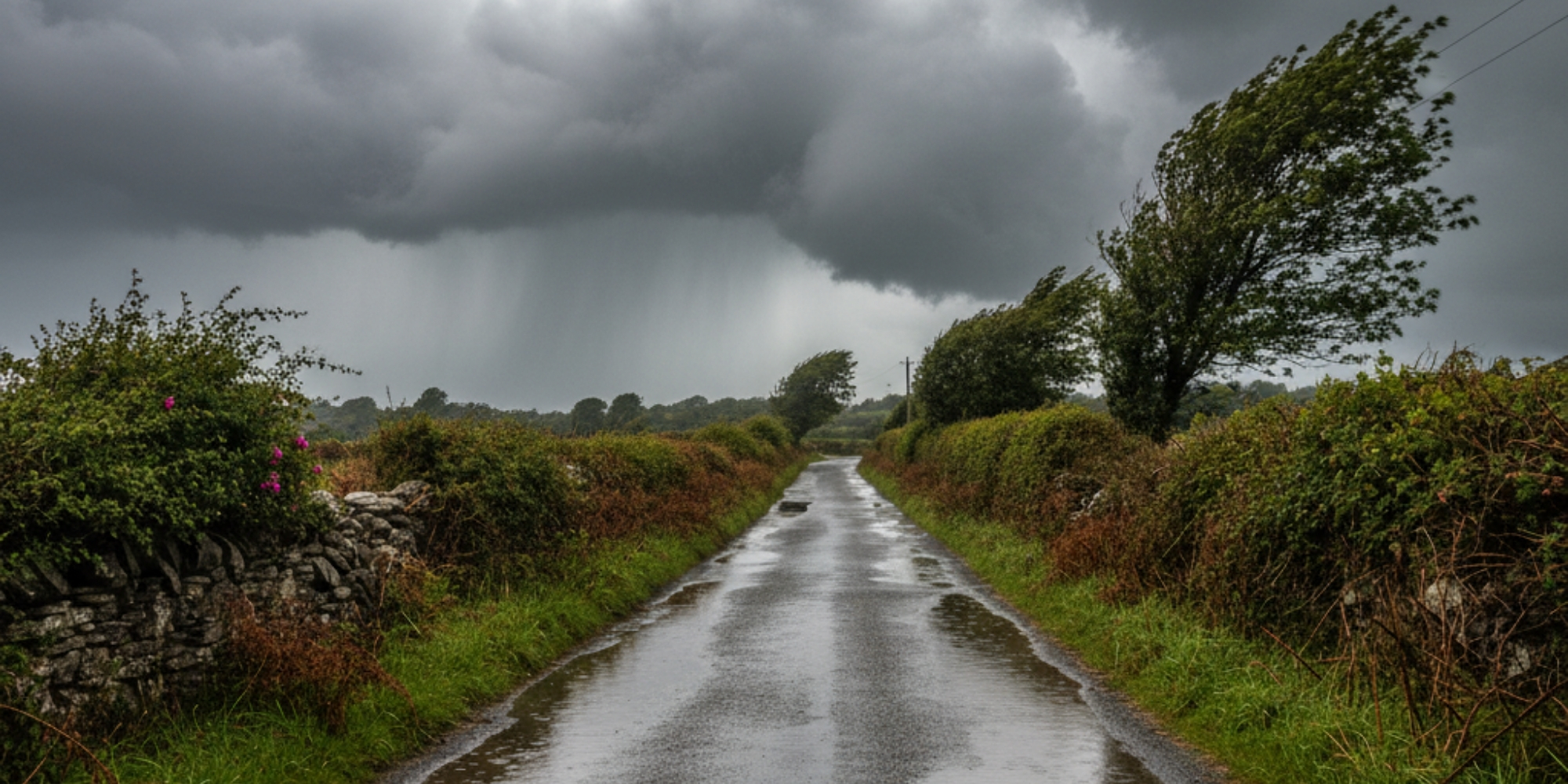
Cork and the wider Munster region are bracing for a challenging weekend of weather, with heavy rain and strengthening winds expected to cause significant travel disruption from this evening through to Sunday morning.
Weather experts are warning residents to prepare for deteriorating conditions as an organised band of rain pushes in from the Atlantic this afternoon, intensifying over west Cork and Kerry. The unsettled weather comes as Met Éireann forecasts temperatures reaching 16 to 18 degrees today, with southeast winds increasing to fresh and strong levels along the coast.
Saturday Afternoon Brings First Wave
The morning's scattered showers are set to give way to more persistent rainfall by mid-afternoon. Weather charts indicate that west Cork and Kerry will bear the brunt of brief but intense downpours, with visibility reducing significantly during the heaviest bursts. Winds are expected to strengthen to 25 km/h with gusts approaching 45 km/h along exposed coastal areas.
Local rainfall totals could reach 5 to 10mm during Saturday afternoon, with conditions becoming particularly challenging for drivers on major routes including the N40 and M8. The combination of reduced visibility and strengthening winds is likely to impact travel times across the county.
Saturday Night: Conditions Deteriorate
The weather is expected to worsen significantly overnight, with heavy rain persisting well into the evening hours. Coastal areas face gusts approaching 50 km/h, whilst spot flooding may affect low-lying areas across the region. Temperatures will remain near 17 degrees before dropping to 14 degrees by late evening, with overnight lows of 12 to 15 degrees.
Sunday Morning: Peak Impact
The most challenging period is forecast for early Sunday morning, when a deep low pressure system crosses Munster. This weather system promises to deliver heavy rain with rates potentially exceeding 5mm per hour, accumulating to 15-25mm by mid-morning.
Wind speeds will increase dramatically, reaching 30-40 km/h with gusts locally hitting 60 km/h, particularly near coastal areas and elevated terrain. The combination of high spring tides and strong onshore winds raises the prospect of coastal flooding in vulnerable low-lying coastal areas.
Recovery Expected Sunday Afternoon
Relief should arrive by late Sunday morning as the rain clears from the south, leaving scattered blustery showers and the return of sunny spells. Temperatures will reach 16 to 18 degrees, with winds gradually moderating to 20-30 km/h and veering southwesterly.
Travel Advice
Plan journeys carefully and allow extra time for travel, particularly during Saturday evening and Sunday morning. Coastal routes should be avoided during peak rainfall and wind periods.
The forecast mirrors typical autumn weather patterns for the region, though the intensity and timing of this particular system warrant extra caution. Weather models show good agreement on the overall pattern, though slight variations exist in the precise timing of the worst conditions.
By Sunday evening, conditions should improve markedly with showers becoming isolated and winds continuing to moderate. However, wet roads and residual standing water may continue to present localised hazards for motorists.
Looking ahead to next week, the unsettled pattern is expected to continue with a mobile Atlantic flow dominating Ireland's weather, bringing mixed conditions with further wet and sometimes windy spells.