Cork Weekend Weather Outlook: Heavy Rain and Strong Winds Expected
Cork faces a weekend washout as a deep Atlantic low brings heavy rain, possible thunderstorms and gale force sea winds, with Met Éireann warning of localised flooding across the county.
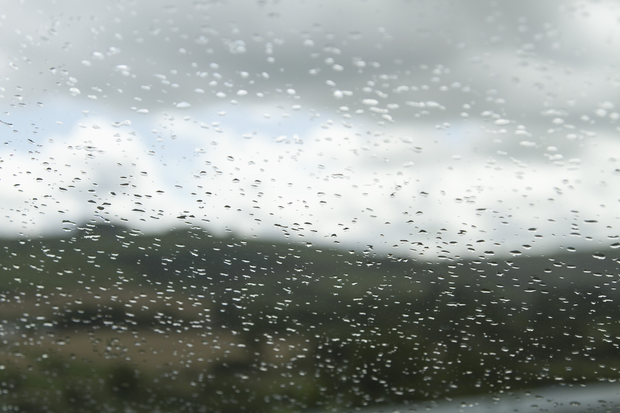
The weekend that promised late summer sunshine has turned into a proper Atlantic battering, with Cork bearing the brunt of a deep low pressure system that's already making its presence felt this Saturday morning. Both Met Éireann and weather chart analysis confirm that conditions will remain challenging through Sunday, with heavy rain, gusty winds and a risk of localised flooding keeping everyone on their toes.
Saturday: Stormy Weather Arrives
The rain that many woke to this morning is just the beginning. Weather models show the Atlantic low moving northeast across Munster, bringing increasingly heavy and thundery downpours through the morning. Rainfall rates could peak near 10mm per hour in the heaviest bursts, enough to cause surface water flooding on roads and in low-lying areas.
Southerly winds are strengthening rapidly, with gusts already reaching 60 to 70 km/h in exposed areas. The N40 and higher routes around Cork are particularly vulnerable to these conditions, with spray and standing water creating hazardous driving conditions. Temperatures are hovering around 15°C this morning, feeling distinctly cooler in the wind and rain.
Met Éireann has issued a Small Craft Warning for all Irish coasts, valid until midnight tonight. South to southeast winds veering southwesterly will reach Force 6 or higher, with marine conditions reaching Gale Force 8 at times between 10:00 and 19:00 today.
The good news: the heaviest rain should clear northwards by early afternoon, though don't pack away the brolly just yet. Scattered heavy showers will continue throughout the day, with some sunny spells developing between the downpours. Winds will veer southwesterly and ease slightly to 40 to 50 km/h inland, though coastal areas will remain blustery.
Afternoon temperatures might struggle to reach 16 to 19°C under the cloud and showers. Total rainfall for Saturday could reach 20 to 30mm in Cork city, with higher amounts possible over elevated areas.
Sunday: No Rest from the Weather
Sunday offers little respite from the unsettled conditions. The low pressure system remains close by, continuing to feed bands of showers in from the Atlantic. These showers will be widespread and heavy, with thunder and hail possible, particularly during the afternoon.
Temperatures will struggle between 14 and 17°C, feeling cooler in the fresh and gusty southerly winds. The showers may merge into longer spells of rain at times, adding another 10 to 20mm to the weekend's rainfall totals. Standing water and localised flooding will remain concerns, particularly on untreated roads.
The evening should see a gradual improvement, with showers becoming lighter and more scattered, though southern coastal areas may see lingering rain. Winds will ease to moderate levels as the low finally begins to fill and move away.
Travel Safety This Weekend
Cork motorists face challenging conditions throughout the weekend. The combination of heavy rain, surface water and gusty winds will affect all routes, with Saturday morning looking particularly hazardous. The usual trouble spots for flooding around the city, including sections of the South Link and lower-lying areas of Carrigaline and Passage West, should be approached with extra caution.
Allow extra travel time, reduce speed in wet conditions, and maintain greater distances between vehicles. Be particularly careful on exposed sections of the N40 and M8, where crosswinds could affect high-sided vehicles and caravans.
For those planning outdoor activities, it might be wise to postpone until next week. The risk of thunderstorms and heavy downpours makes conditions unsuitable for most outdoor events, and coastal walks should be avoided due to the strong winds and high seas.
Looking Ahead
Current indications suggest the unsettled weather will continue into early next week, with Monday bringing more showers, though perhaps not as heavy or persistent as the weekend. Tuesday and Wednesday look to remain changeable, with further rain likely, particularly across southern areas.
After what's been a mixed August, this weekend's weather serves as a reminder that autumn is just around the corner. Time to check those gutters are clear and ensure the winter coat isn't buried too deep in the wardrobe; you might need it sooner than expected.